Did an overnight with Matt to Roan Highlands. I am not sure why we have not been there before, but this was our first visit. I had been reading about the area and wanted to do a recon trip before going through the effort of arranging a more involved backpacking trip with shuttles and resupplies and all of that.
I can now say, it's worth it.
So we drove up intending to go to Overmountain Shelter 6 miles in and camp then come back out to the car Sunday. Our drive...we could not have dawdled more if we had triplet toddlers. It was after 3 before we got there the sunset was in about 2.5 hours and we did not have time to hike 6 hours before dark. So we finally found a parking spot-that place was PACKED-and hit the trail. The parking is in a gap so first thing is a 300+ foot climb to the first bald which is called Round Bald.
The trail winds uphill meandering through a stand of spruce or fir, I admit to not knowing the difference as they only grow above 5500 feet and Alabama is a short state. Once through the trees, it emerges on the balds and stays there save for a few low stands of rhododendron.
There's no way to describe the scope of the view, it just goes on and on. Dropping down from Round Bald into the saddle between it and Jane Bald, your senses are spared the distant horizon, but ahead is the open bald and the climb up to Jane, at 5807 feet, is fairly mild.
We met a mom and her little boy huffing up, he was nearly at the top. I told her about another little boy we'd run into on the other side who had yelled, "Arby's! We got the meats!" and had put his arms behind him to make himself more streamlined so he could rocket down the trail. I suggested they get a power phrase to give him a boost. They were chatting away as we kept walking, trying to figure out the right one.
After climbing Jane, the trail splits the AT heading off to the right and headed down and the side trail to Grassy Ridge heading up even more. There's a shelter not far from this point with water. We decided since it was getting later to go up and camp on Grassy. When we reached the top-this climb was around 500 feet-we realized many other people had the same idea! We passed several campsites that would have been amazing had we gotten there earlier in the day. Ah well.
We walked all the way to the far end of the mountain, then backtracked to an open spot and set up the tent. We had talked to a couple of families who had set up in a low saddle about coming back to join them if we didn't have any luck further on. They were really nice and agreed to share the spot.
Matt had asked me earlier if everyone was this nice, after we had befriended a young photographer who was super chatty. I said, "Yep!" The only unfriendly AT people I have ever run into were some 20 somethings at the shelter at Grayson Highlands.
Matt had asked me earlier if everyone was this nice, after we had befriended a young photographer who was super chatty. I said, "Yep!" The only unfriendly AT people I have ever run into were some 20 somethings at the shelter at Grayson Highlands.
It was around 62 by dark, but the wind-whew! It never let up. The tent flapped and shook, I thought raccoons had attacked at one point because it seemed like something had to be grabbing it for it to move like that.
We were cold to start out, but after zipping up the tent, our body heat warmed the pads and quilts and the air in the tent warmed up without that chilly wind. I took the Half Dome for this trip, it's wider than the Big Agnes. I never even put on my long pants Matt started out dressed but quickly shed layers. I undid the foot box on my quilt and spread it out after a while.
We did not sleep much. We were warm and comfortable, but the wind was a new thing and we were on the side of a mountain and still hyped up from the drive and the newness of the area and all we had seen. It was so beautiful. Plus, pillows are still an issue. It's hard to sleep deeply when every time you turn over, your pillow has to be manually readjusted.
As we walked to where we camped, the clouds started rolling by on either side of the balds, cutting off views and then opening back up again. At some point, we had our turn and a cloud engulfed us totally and despite the wind, kept us covered all night, soaking the tent. My thermometer said 42 when I last checked it.
 |
| drama dog |
 |
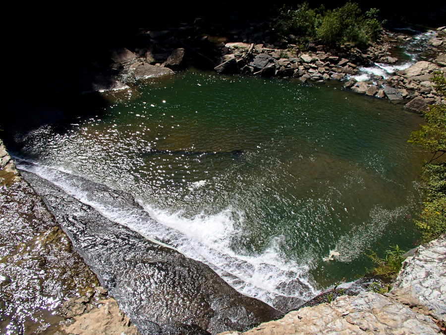
| crossing the lake |


 |
| I still love my colorful hair |


 |
| the top of the climb is Jane Bald, up beyond that is Grassy Ridge |


 |
| leaves had barely begun to change in the valley and were already past peak at the top |


Sunday coming up.