
According to fitday, kayaking burns around 220 calories per mile. I finished mile 20 last night!
In kayak news, I have ordered a variety of things to make travel safer/easier like cross bars for the van roof and 2 sets of J cradles to hold the boats and 2 sets of loops to attach to the van to tie off the bow and stern to. I feel like I have learned SO much in the past 2 weeks, from how to navigate open water with other boats to how to hold a paddle to avoid blisters (well...mostly). And I've learned quite a bit just piddling around in my boat trying different ways to paddle and turn.
As with anything new I come across, the vocabulary has been fun to learn like the difference between a skeg and a rudder. Acting like Disney-esque pirates with Matt and yelling starboard and port, naming our boats, discussing at length the process to train a parrot and/or monkey to ride with us.
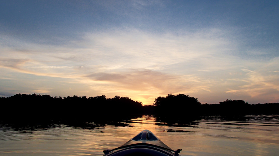
But mostly, I just like paddling around and exploring the numerous coves and side creeks that flow into the backwaters of the Tennessee River. We won't run out of places for a long time!
These are pics from areas around Wheeler-going out and returning to either Hickory Hills boat launch or Arrowhead Landing.
From Hickory Hills, if the water is high enough, head to the right after launching. There's a wide, shallow opening that cuts through and comes out nearly directly across from Point Mallard. If you keep the island to your left and paddle all the way around it, you'll come out in the backwaters where the Flint Creek Trail is at Wheeler. Cross that-keep in mind that inside the red buoys is the main channel and kayaks are VERY LOW and HARD TO SEE, so scoot across that because people in boats go wide open around those turns. You'll have your run of the rest of the open water and can go all the way down to the bridges on the trail!
The way back to the launch is at the opposite end of the open water from the bridges and in full green, it's hard to see from far off! Paddle around next to the shoreline and there are a couple more little islands to weave around if you like. Nearly at the far north end, there is a shallow cut through that comes out diagonally across from the launch. If the water is low, you'll have to go all the way to the very end of the open area and use the main channel. Facing toward Point Mallard, it's on the right side, watch for boats zooming through and keep track of where they are going. Keep close to the shore and keep your head on a swivel if you have to use the big boat channel!!
The track around the island and back to the launch is 3.5 miles. Maybe this will help!!
https://www.google.com/maps/d/viewer?mid=1aPw4nCKnF1LfNJTUN_OLO-0bvLqH7MV3
Our trip tracked above was over 4 miles because I like to see what's around the bend.


Point Mallard!

Watersnake swimming off, we see loads of them, all going the other direction!


One of the reasons I like staying close to shore-other than it's safer for our little boats is that it's often SHADY!


Water Willow

I found this quote by Joel Sheesley that I love:
The river is very shallow at that time of year, and the bottom half was exposed and braided like water. There were sandbars right across, the bigger ones small jungles of weedy vegetation weedily in bloom, with butterflies and dragonflies attending on them like spirits.


::::


:::::

This one looks perfect!


Chandler stopped to eat eleven times in 2 hours. I thought she was going to move into this tree.

She's channeling her inner Ben.
That's actually what she said.
He does hiss a great deal...


We had already done over 4 miles at this point, and on her first time out!
It was time to chill for a few, mainly because she had run out of snacks.


This beaver swam around with us for a good half an hour, it was nearly dark before it went off to do beaver things.
That's the beaver's head in the water on the far right

Crappy shot because it was so dark already, my poor little point and shoot can't handle the low light!


:::::::
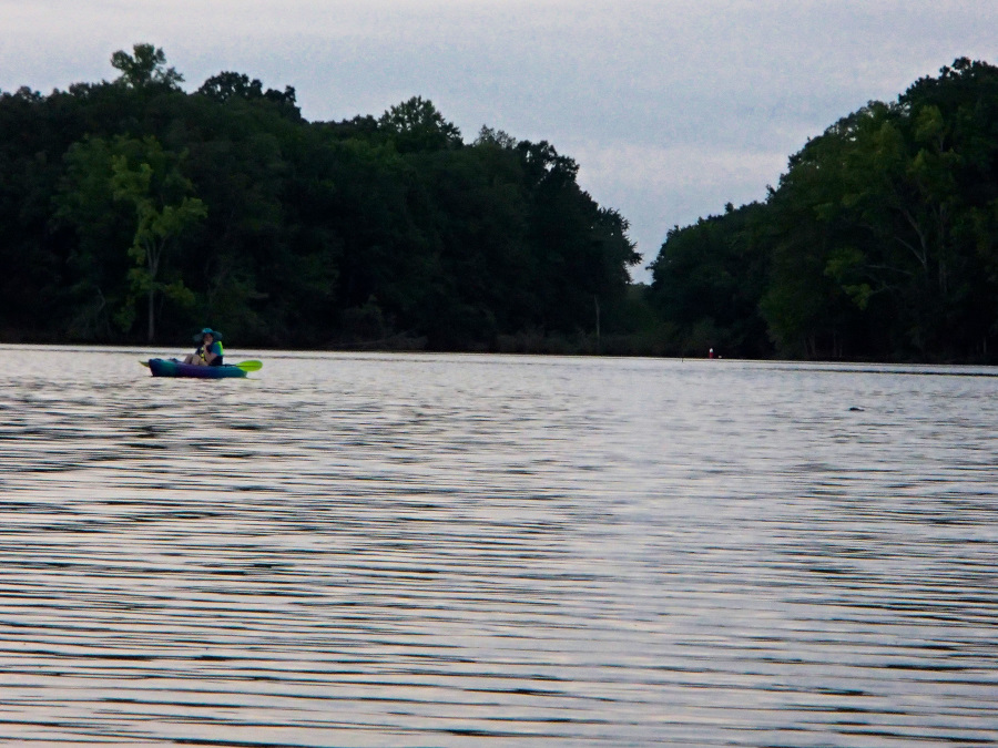
Next, we went to Limestone Bay and launched from Arrowhead Landing.
'Launch' seems like such a fancy word for what is basically me getting my butt as close to the seat as possible and hoping I fall in the boat instead of the water. I don't have that whole part of it really figured out yet.
Limestone Bay does not have bigger boat traffic like other places because there's not much of a channel and it's really shallow overall. There was only one other boat out, and they went straight toward the main river.
Our paddle here was over 5 miles
https://www.google.com/maps/d/viewer?mid=1aPw4nCKnF1LfNJTUN_OLO-0bvLqH7MV3

The mayflies have emerged.
After this trip, I came home with dead mayflies IN MY HAIR. eeeeeee


I went under a tree that was crossing an inlet creek and pushed up a branch to get past it.
The branch was in the water and unknown to me, was in full leaf.
The leaves had been laying on the bottom of this very mucky little side creek long enough to be slimy and smelly. The entire branch raked over my kayak and me, leaving us both covered in muck and stink!
My boat was full of pine needles, cones, twigs, leaves, wet slime, dead mayflies, mayfly husks, and later, river water from where I attempted to wash the worst of it off.
I was loving it!

This is beautiful!!


Near the middle of the water, Matt is touching the bottom of the bay, that's about 3 feet deep.

Limestone Bay is HUGE. We were a solid mile from the launch in this shot and nowhere near the far end of it. Our 3-hour paddle exploring the waterways on the north end was well over 5 miles as tracked by Matt's GPS.

I named my little boat Spero.
It's Latin (and Italian) for I hope, it's also the word for imagine.
Matt named his boat Mischief.
I ordered the name off Etsy for $2 delivered. :)
It's Latin (and Italian) for I hope, it's also the word for imagine.
Matt named his boat Mischief.
I ordered the name off Etsy for $2 delivered. :)


I am loving the pirate life!
I have paddled more miles than I have walked this month. I'm going to count it toward my 50 miles a month goal though because it's me-powered moving one way or another!